Your ultimate guide to 24 best Peak District walks and hikes – featuring outstanding views and vistas, magnificent crags, mysterious caves, lakes and waterfalls, picturesque villages, Derbyshire’s industrial past and more.
Each walk includes a difficulty rating, distance of the walk and highlights to look out for, as well as a Google map with a plotted route as well as links with detailed route information.
Whether you’re looking for a challenging hike to something quick and more gentle, there’s something for everyone here, to suit all of all ages and abilities. Enjoy! 🥾
1. The Roaches and Luds Church
Best for: Eye-opening geology
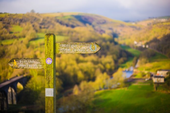
Distance: Approx 7m, 3-4 hours
Difficulty rating: Moderate
Detailed route guide: 10adventures.com/hikes/peak-district-national-park/the-roaches-and-luds-church
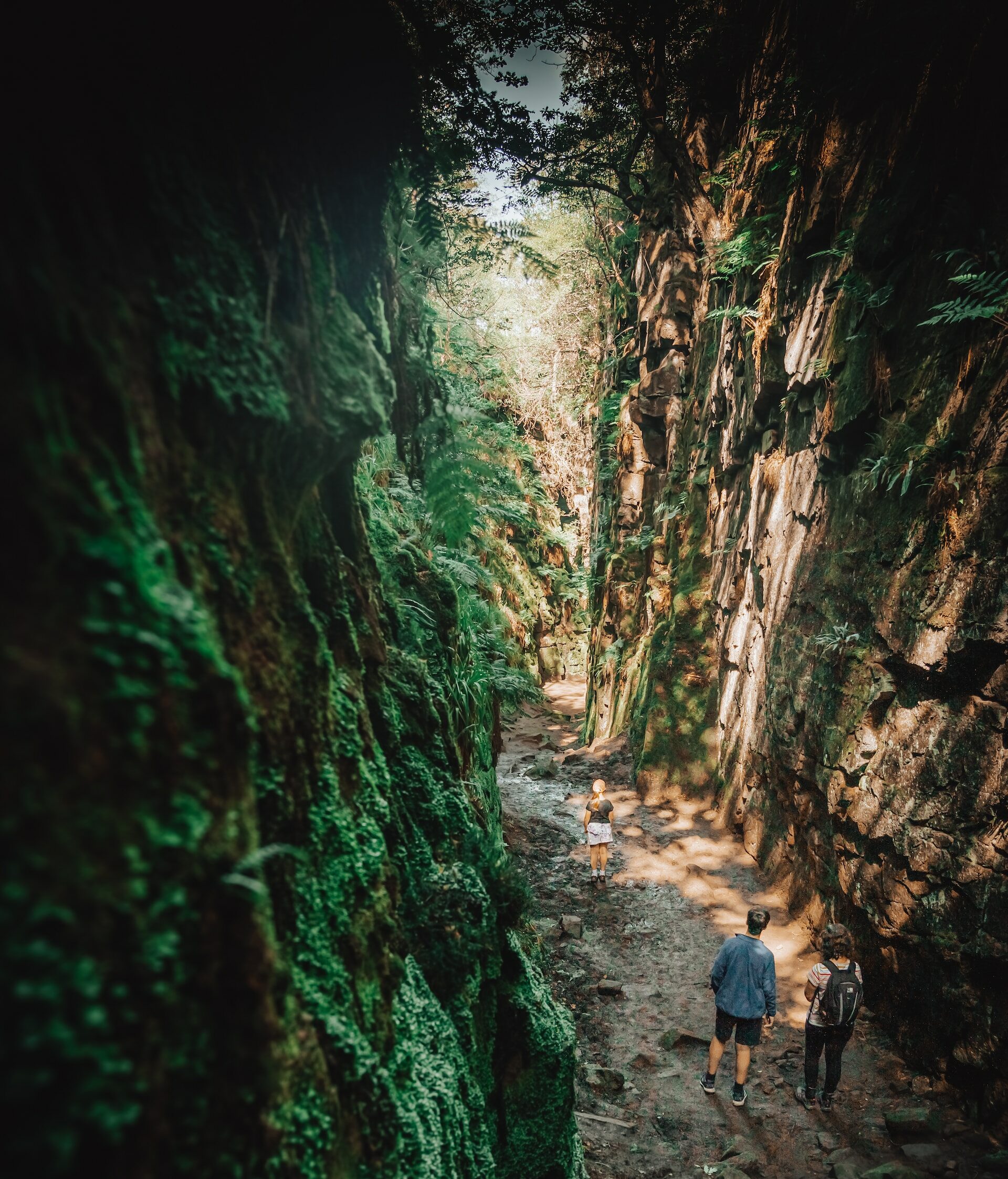
This spectacular White Peak trek leads past the crazed gritstone formations of The Roaches escarpment, one of the Peak District’s best-known natural features. It is an area with links to Arthurian myths – Sir Gawain and the Green Knight are said to have done battle in the high-sided chasm known as Lud’s Church, which you will pass through – and the exposed, rocky trail is also a good place for spotting peregrine falcons. The atmospheric moss covered Lud’s Church is stunning – don’t forget your camera!
2. Sett Valley Trail
Best for: A gentle, quick blast of fresh air
Distance: Approx 4 km
Difficulty rating: Easy
Detailed route guide: visitnewmills.co.uk/things-to-do/sett-valley-trail/
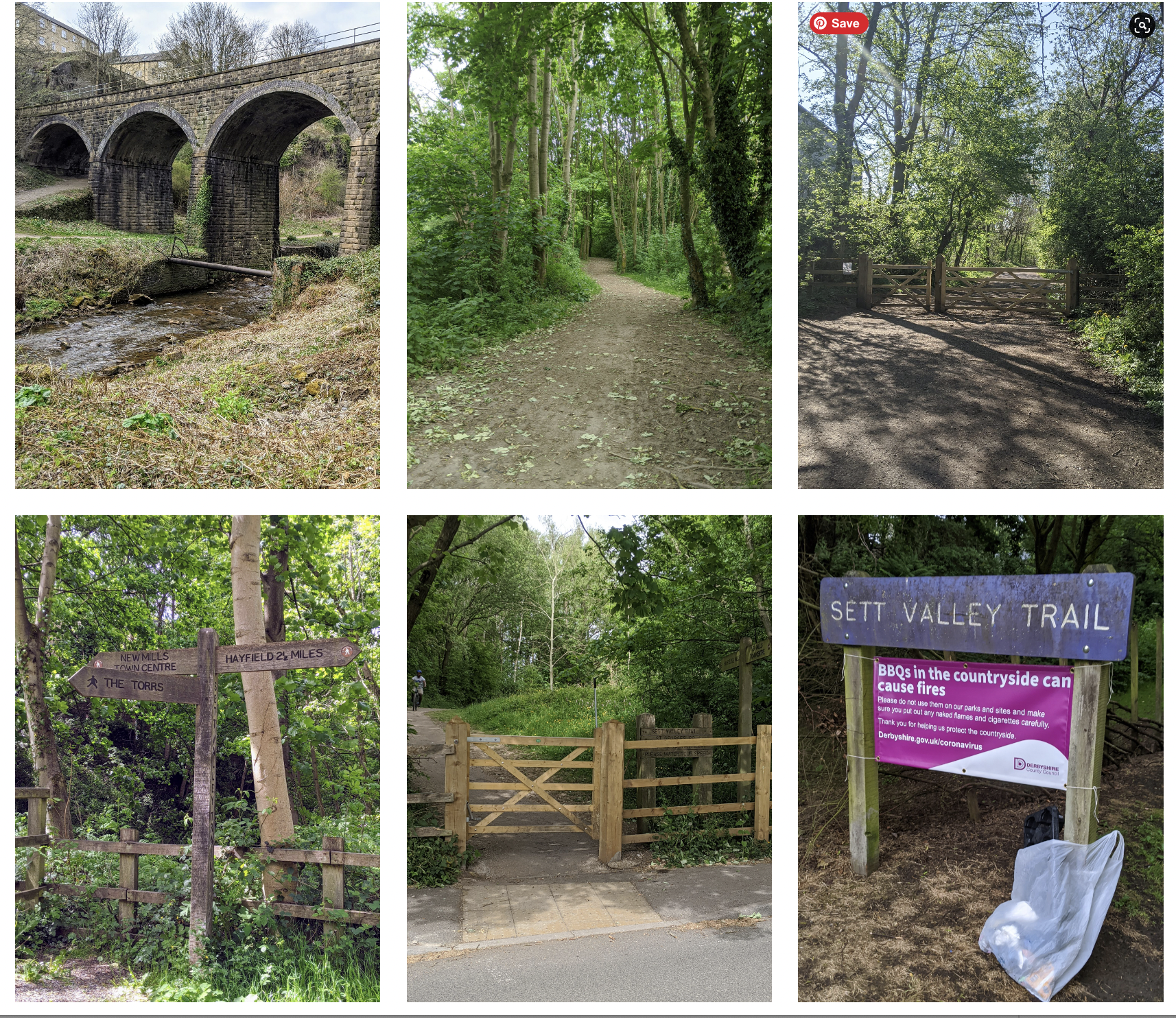
The Sett Valley Trail, on the Manchester side of the Peak District, is a short gentle trail. The 2.5 mile walk, between the towns of Hayfield and New Mills was originally a stretch of the Hayfield to Manchester railway, closed down in 1970, which explains why it is an easy, level walk. Starting from Hayfield, it is less than an hour’s walk to the beautiful deep river valley of the Torrs Riverside park in New Mills. Overexcitable types can split off at the village of Birch Vale and head up Lantern Pike peak, with its stunning view from the summit of the elevated plateau of Kinder Scout and the beginning of the Pennine Way (the somewhat more demanding walk from one end of Britain to the other).
3. Kinder Scout
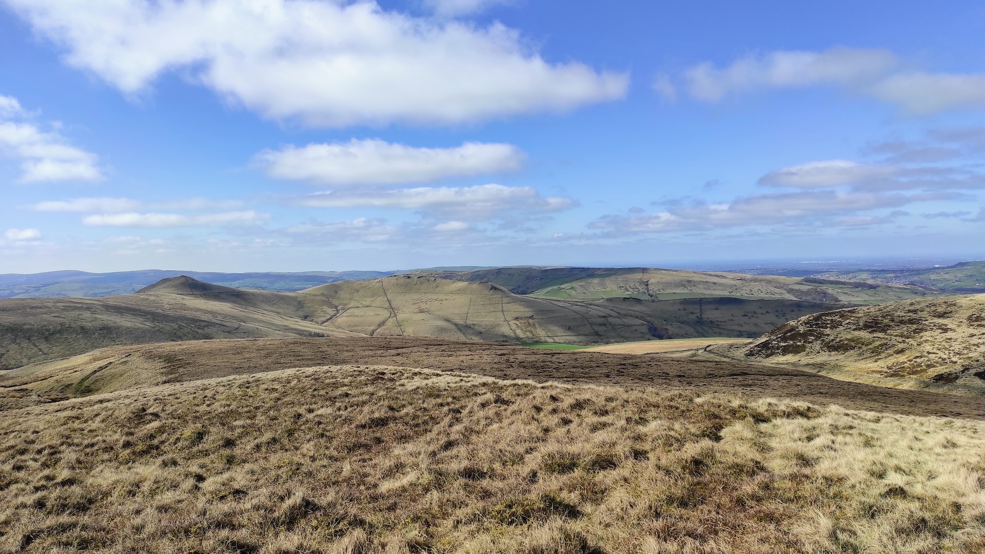
Kinder Scout will always be associated with the mass trespass of 1932 when a group of ramblers made a valiant stand for public access to open country. The protest ultimately worked, and today this circular walk – up the rocky steps of Jacob’s Ladder, across the elevated Kinder Plateau and past the beautiful Kinder Downfall – is one of the finest in the Peaks.
Best for: Experienced walkers
Distance: Approx 16km
Difficulty rating: Moderate – difficult
Detailed route guide: nationaltrust.org.uk/visit/peak-district-derbyshire/kinder-edale-and-the-high-peak/kinder-scout-mass-trespass-walk
4. Bamford Walk
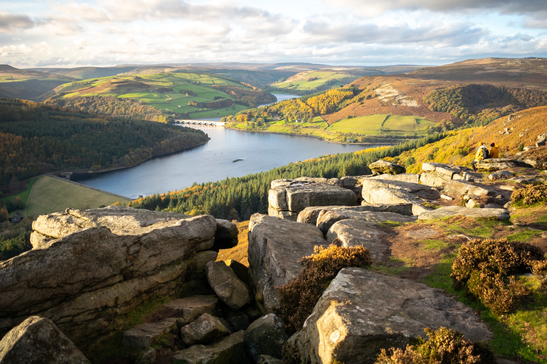
For all abilities, this walk is an ideal sunny afternoon pursuit. The terrain is fairly easy but be prepared for a lengthy climb towards Bamford Moor – it’s well worth it though, as you’ll be rewarded with stunning views of the surrounding countryside and the starting point near Ladybower is lovely too.
Best for: Stunning views from the moor
Distance: 3.7km
Difficulty rating: Easy
Detailed route guide: derbyshire-peakdistrict.co.uk/bamfordwalk
5. Monsal Trail
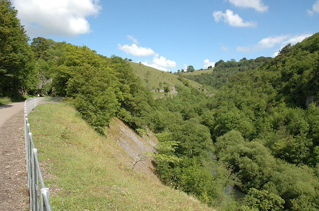
You can either walk or cycle this beautiful trail, which has a starting point just outside Buxton at Blackwell Mill Cycle Hire located just off the A6. The Monsal trail is a disused railway line closed in 1968 and recently converted in 2010-2011 into a new traffic-free cycle track running betwen Buxton and Bakewell. The eight and half mile trail follows the river Wye, taking you through several newly opened lit tunnels, between steep gorges, surrounding limestone hills and across the spectacular Monsal Dale viaduct making this an exceptional cycling experience. The flora and fauna is lovely along the way particularly in summer – with plenty of wild flowers, dragonflies, butterflies and more. Don’t miss Hassop Station Café on route, along the trail to Bakewell which serves great food and good cups of tea.
Best for: Traditional Peak District pubs along the way
Distance: Approx 12.8 km (25.7km from Blackwell Mill to Bakewell and back to Blackwell Mill)
Difficulty rating: Easy – moderate (depending on how much of the route you wish to walk)
Detailed route guide: peakdistrict.gov.uk/visiting/miles-without-stiles/monsal-trail
6. Eccles Pike
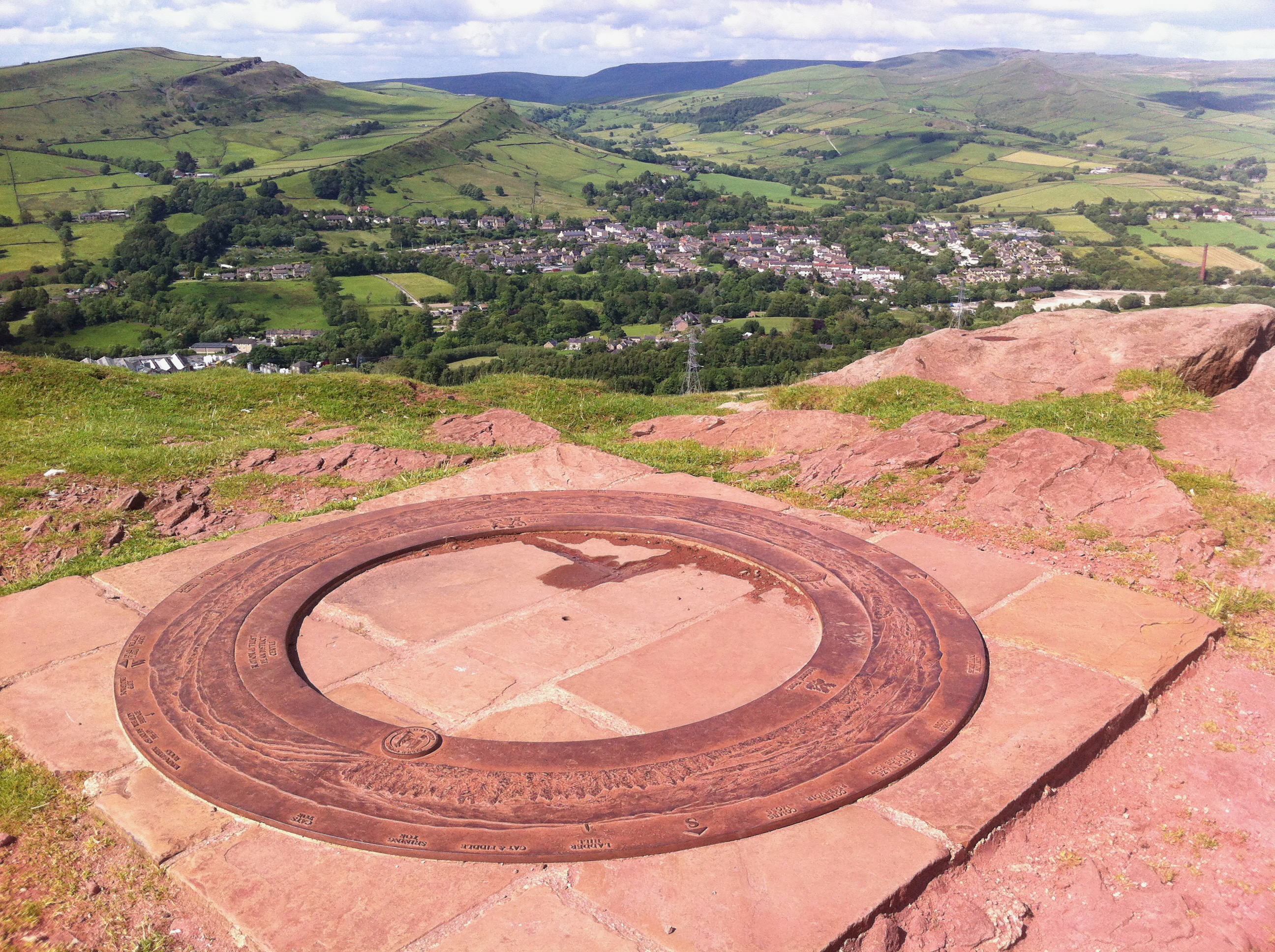
Ascending to the summit of Eccles Pike rewards you with some of the best views in the Peak District. It’s a steep incline in parts but if you take it easy it’s fine. You can access Eccles Pike from Chapel-en-le-Frith (or Whaley Bridge if you wish) and a great way to do this walk if you’re coming from Buxton is to catch the train and walk through Chapel. It’s about a three mile walk from the train station/centre of Chapel-en-le-Frith. Follow the road down Long Lane from the station, crossing Manchester Road to Crossings Road and then turning left into Eccles Road and just follow the road up until you see Eccles Pike on your right hand side where you can climb the style and reach the summit. The views are really quite staggering and at the summit you will find a topograph which shows all the sights you can see from the top.
Best for: Stunning views across a wide area
Distance: Approx 14km
Difficulty rating: Moderate
Detailed route guide: komoot.com/highlight/435854
7. Ladybower Wood and Ladybower Reservoir Circular Walk
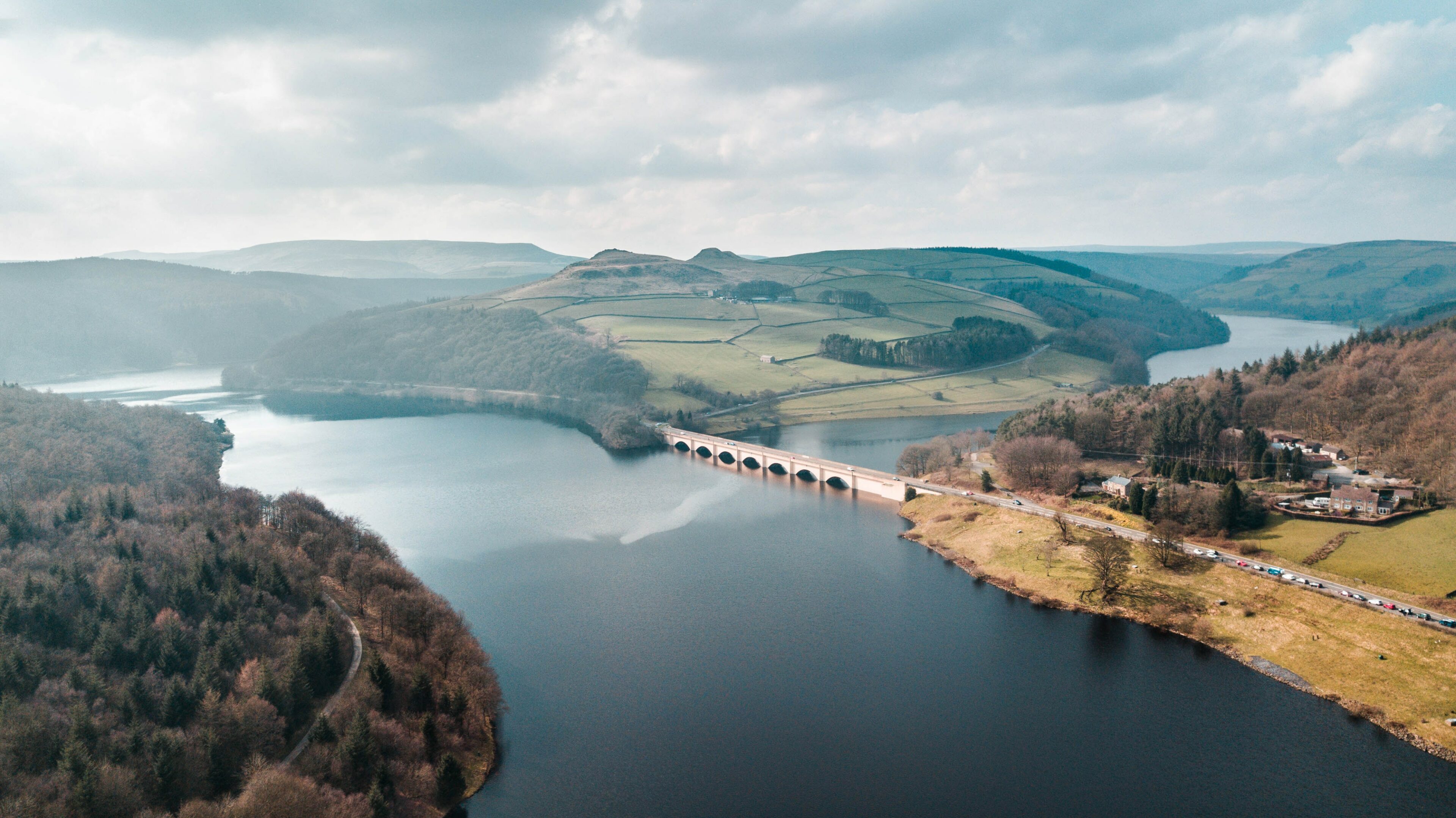
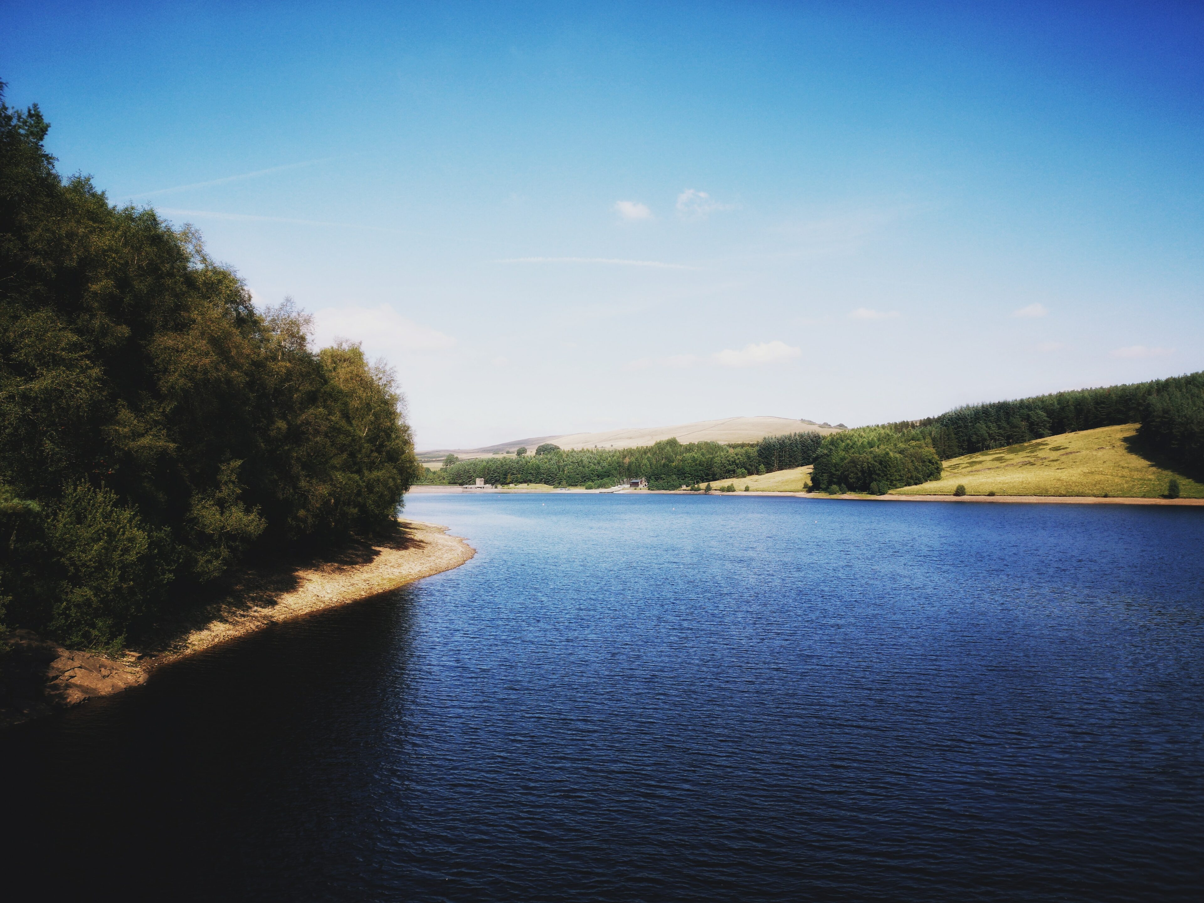
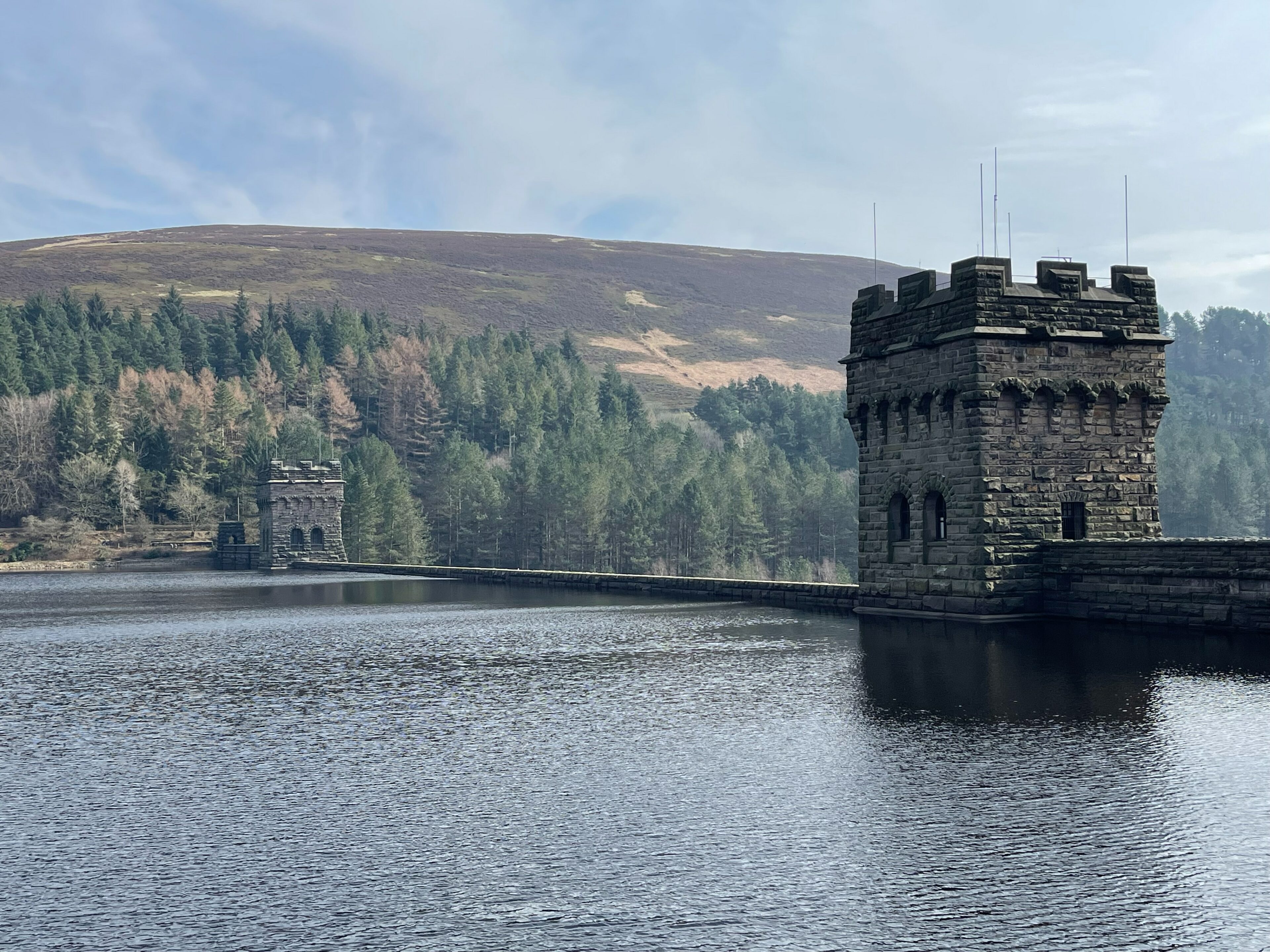
A good place to start is Fairholmes Visitor Center where you can park the car or if not on roads nearby. Ashopton Viaduct was built to carry the Snake Road to Glossop and the Ladybower Viaduct to carry the road from Yorkshire Bridge to the A57. The reservoir was opened by King George VI in 1945 and a commemorative monument has been built close to the dam wall. Near the end of the walk a few cottages are passed, sited on higher ground; they are all that remains of the former Derwent village. A superb walk for all abilities offering some truly stunning views.
Ladybower Wood
For the wood walk you could park at Severn Trent Water’s public car park at Heatherdene. Ladybower Wood is one of few remaining examples of upland oakwood in the Peak District. Walk over the reservoir bridge and up to the Ladybower Inn – from here a public bridleway takes you diagonally upwards to the wall which forms the reserve boundary. Because of the difficult terrain, visitors are advised to stay on the bridleway, which offers plenty of opportunity to enjoy this interesting reserve. This walk can be all abilities.
Best for: Lots of wildlife, including birds and pretty views across the reservoir
Distance: 9km, but varies – depending on long you stay, can be as long or as short as you choose
Difficulty rating: Easy – moderate
Detailed route guide: staywildtravels.com/ladybower-reservoir-walk
derbyshirewildlifetrust.org.uk/reserves/ladybower-wood
8. Mam Tor Circular Walk
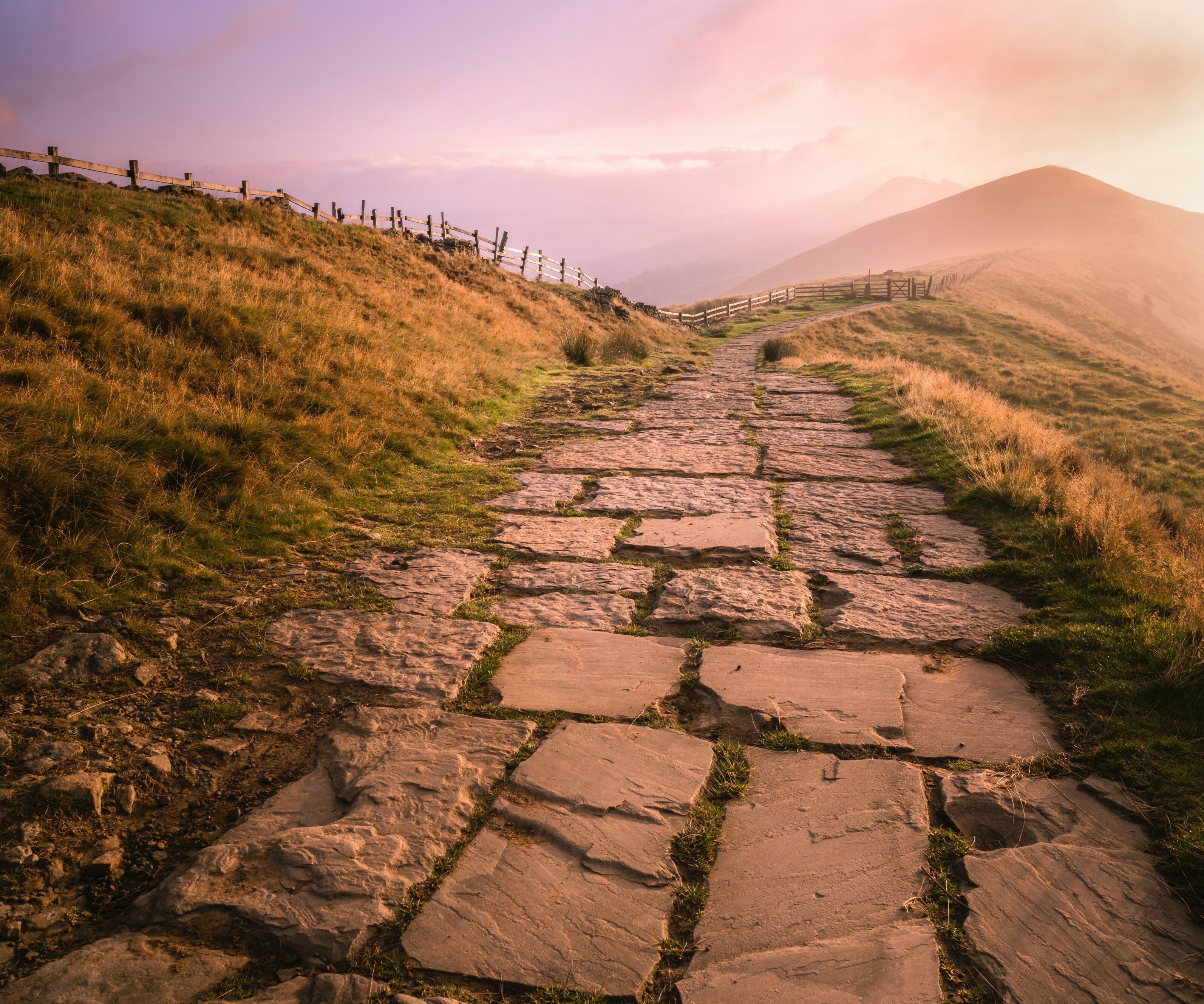
This classic short-distance walk is deservedly popular, leading to the top of Mam Tor (the name means “Mother Hill”) before striking out on easy footpaths along an undulating ridge to Lose Hill. The visual rewards throughout the walk are superb, with deep panoramas of the Edale Valley. Mam Tor itself is topped by Bronze Age and Iron Age remains – so when you take in the view from its summit, you are the latest of many to do the same.
Starting and finishing in pretty Castleton, you’ll have plenty of time for a cuppa. Castelton Visitors Centre also excellent if you need some local information and The Castle pub on the main street is reputed to be one of Derbyshire’s most haunted pubs!
Incidentally, Mam Tor is also referred to locally as the ‘Shivering Mountain’ due to its frequent land slips on the eastern face. Caused by unstable layers of shale, several major road works have been required due to movement and in 1974 large parts of Mam Tor collapsed after a huge landslide. The road passing up the south face – the A625, was finally abandoned in 1979 and traffic rerouted through the Winnats Pass to rejoin the A625 at Windy Knoll.
Best for: Undeniably one of the Peak District’s finest views
Distance: Approx 8km
Difficulty rating: Moderate
Detailed route guide: nationaltrust.org.uk/visit/peak-district-derbyshire/kinder-edale-and-the-high-peak/mam-tor-circular-walk
9. Hathersage to Stanage Edge
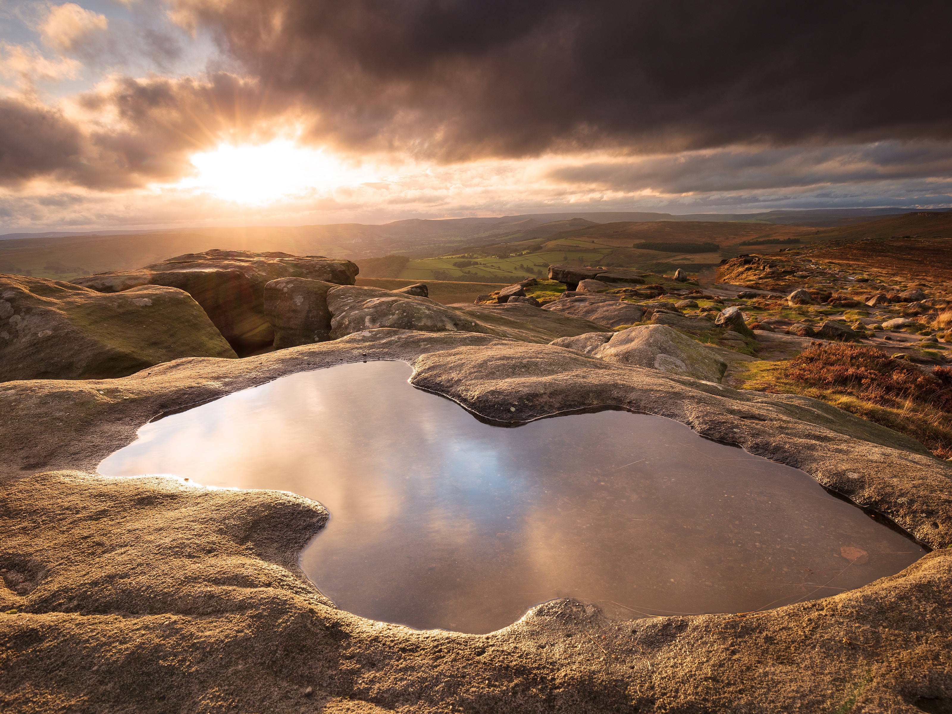
The Stanage Edge escarpment is legendary in rock-climbing circles and it’s a fine place to walk to with various options for scrambling if you’re so inclined. Begin in the valley below at Hathersage (famous for its associations to writer Charlotte Bronte who visited here regularly but also the resting place of Little John – Robin Hoods so-called right hand man). Head up School Lane northwards. Once you arrive at Stanage, ascend to the lip of the ridge itself and walking along its length, cresting the 458m-tall High Neb. On a fine day, the views are some of the furthest-reaching in the region.
Best for: Ridge-walking
Distance: Approx 12.5km miles km, 4.5 hrs
Difficulty rating: Moderate
Detailed route guide: visitpeakdistrict.com/trails/hathersage-to-stanage-edge-walk
10. Tissington Trail
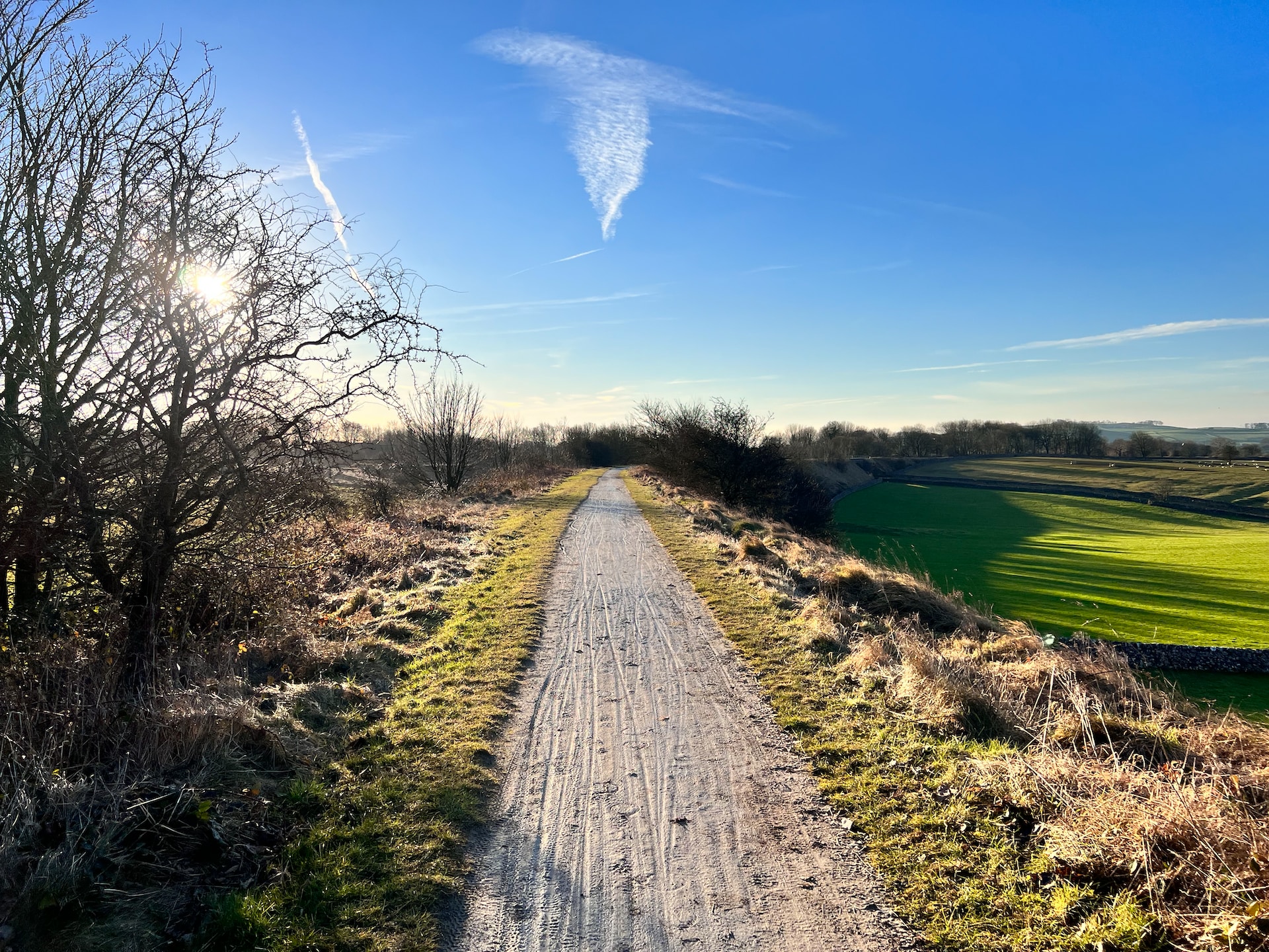
If yomping up steep hillsides is not your thing, the beauty of the Tissington Trail is that it’s well surfaced and relatively flat throughout – much of the route occupies an old railway track. It is also popular with cyclists, and runs from Parsley Hay in the north to Ashbourne in the south, offering impressive views across the surrounding limestone countryside. Walk for as long as you feel like – great for either a long walk or a quick short one. You can start from Parsley Hay or Ashbourne where bikes can be hired at either end too if you fancy being a bit more physical. Don’t miss the picturesque village of Tissington with its quaint cottages, and duck pond. The southern end of the trail is in Ashbourne – another lovely Derbyshire town. The trail also passes near to Dovedale, a dramatic limestone ravine with stunning scenery, famous for its much-loved stepping stones which cross the River Dove – well worth a look.
Best for: An easy ramble to enjoy some fresh air
Distance: 20.9km
Difficulty rating: Easy
Detailed route guide: peakdistrict.gov.uk/visiting/places-to-visit/trails/tissington-trail (click on the ‘View map of the Tissington Trail’ link which displays a handy map showing other trails in the area).
11. Buxton to Three Shires Head and back to Buxton
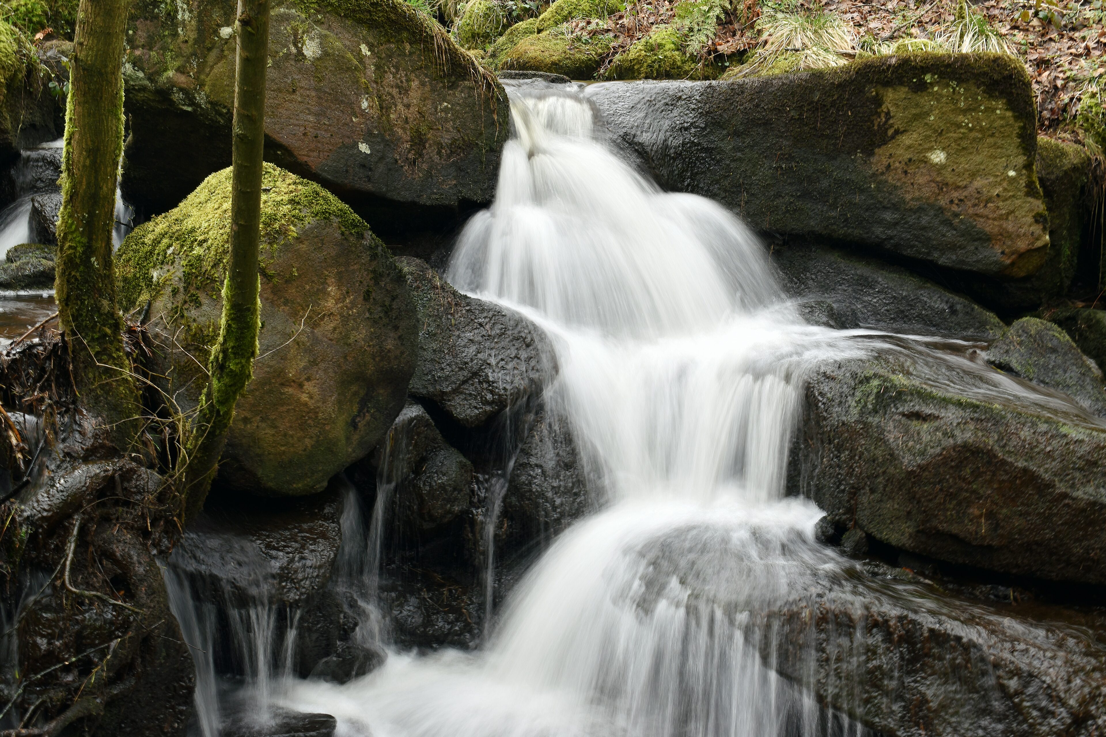
Three Shires Head is named because it’s the point where Cheshire, Derbyshire and Staffordshire meet. This pleasant circuit of a little over 4 miles takes you out to Three Shires Head and back. Taking in secluded river valleys, mature woodland, a couple of miniature waterfalls, open sheep pasture and heather moorland, there are also some gentle hills to stretch the legs nicely—285 metres (935 feet) ascent and descent in total. Could take as little as 1¼ hours if you don’t hang about, but on a nice day there are plenty of excuses to dally, particularly at the packhorse bridge at Three Shires Head, so allow a good 2 hours.
Best for: Pretty waterfalls
Distance: 7.5km
Difficulty rating: Easy
Detailed route guide: walkpeakdistrict.com/three-shires-head
12. Eyam and Stoney Middleton

With plenty of pubs and cafes on the route for, this is good one with plenty of stops as its a little more difficult that other. You’ll pass through pretty meadows as well some paths. Take care along the track leading to the quarry as heavy lorries are known to pass through during the week.
Best for: History – The Eyam 1665 plague. Check out the plague cottages and lovely little church in Eyam, both Eyam and Stoney Middleton are steeped in history
Distance: 8 miles
Difficulty: Moderate
Detailed route guide: peakwalking.co.uk
13. Padley Gorge Loop and Grindleford Cafe
Enjoy a gentle winter walk alongside a tumbling stream, through atmospheric meadows and winter woodland. Padley Gorge is beautiful part of the Peak District and this short walk is well worth doing. Beginning by taking you through the Longshaw estate, down the scenery of Padley Gorge and a bacon buttie at the superb Grindleford Cafe. Incidentally, Totley Tunnel you can see from the cafe car park is the 4th longest mainline railway tunnel in the UK. Padley Gorge is just as beautiful in winter and when there’s less leaves on the trees you can see further across the landscape.
Best for: Pretty woodlands and one of the norths legendary cafes – don’t forget your camera
Distance: 5.9km
Difficulty: Easy
Detailed route guide: walkmyworld.com/posts/padley-gorge
14. Buxton to the Goyt Valley
This circular walk starts at Burbage, on the western edge of Buxton, passing along easy moorland paths to Errwood Reservoir, before returning to the starting point on Bishop’s Lane. It’s a fairly easy walk, with no steep slopes. But it can get muddy in places – particularly after rain – so walking boots are recommended.
It’s also the first that starts and ends in Buxton, so there’s no need to park in the Goyt. It’s only a 15 minute stroll from Burbage. And there’s also a regular bus service which stops close to the start of the walk. Follow the link below to find everything you need to know about this walk.
Don’t forget to take a quick detour to the heart of the Goyt Valley to see the ruins of the Victorian mansion of Errwood Hall.
Best for: Industrial heritage / history – old coal mine shafts can be seen to the left on Axe Edge Moor, and, Old Macclesfield Road and Goyt Valley were once thriving communities.
Distance: 12km
Difficulty: Easy
Detailed route guide: goyt-valley.org.uk/project/buxton-errwood-walk
15. The Heritage Way at Derwent Valley
For those who are looking for a more strenuous challenge, the Derwent Valley Heritage Way offers a 55 mile route through the county of Derbyshire.
Stretching from Ladybower Reservoir in the north to Shardlow in the south, the walk through the valley offers varied scenery and a way-marked route. Passing through the Peak District National Park via Chatsworth Park and the breath taking scenery around the Derbyshire dales and Derwent Valley Mills World Heritage Site, the riverside path continues to Journey’s End where the Derwent flows into the River Trent.
The Derwent Valley Heritage Way can be enjoyed as a long distance walk or as a series of shorter walks. Stay in local accommodation and enjoy relaxing rambles through the valley. Take a walking break and explore the valley from end to end.
Best for: Reservoir views and water wildlife – look out for kingfishers
Distance: 88km
Difficulty: Moderate – difficult
Detailed route guide: info.ambervalley.gov.uk/docarc
16. Manifold Valley: Wetton to Ilam circular walk
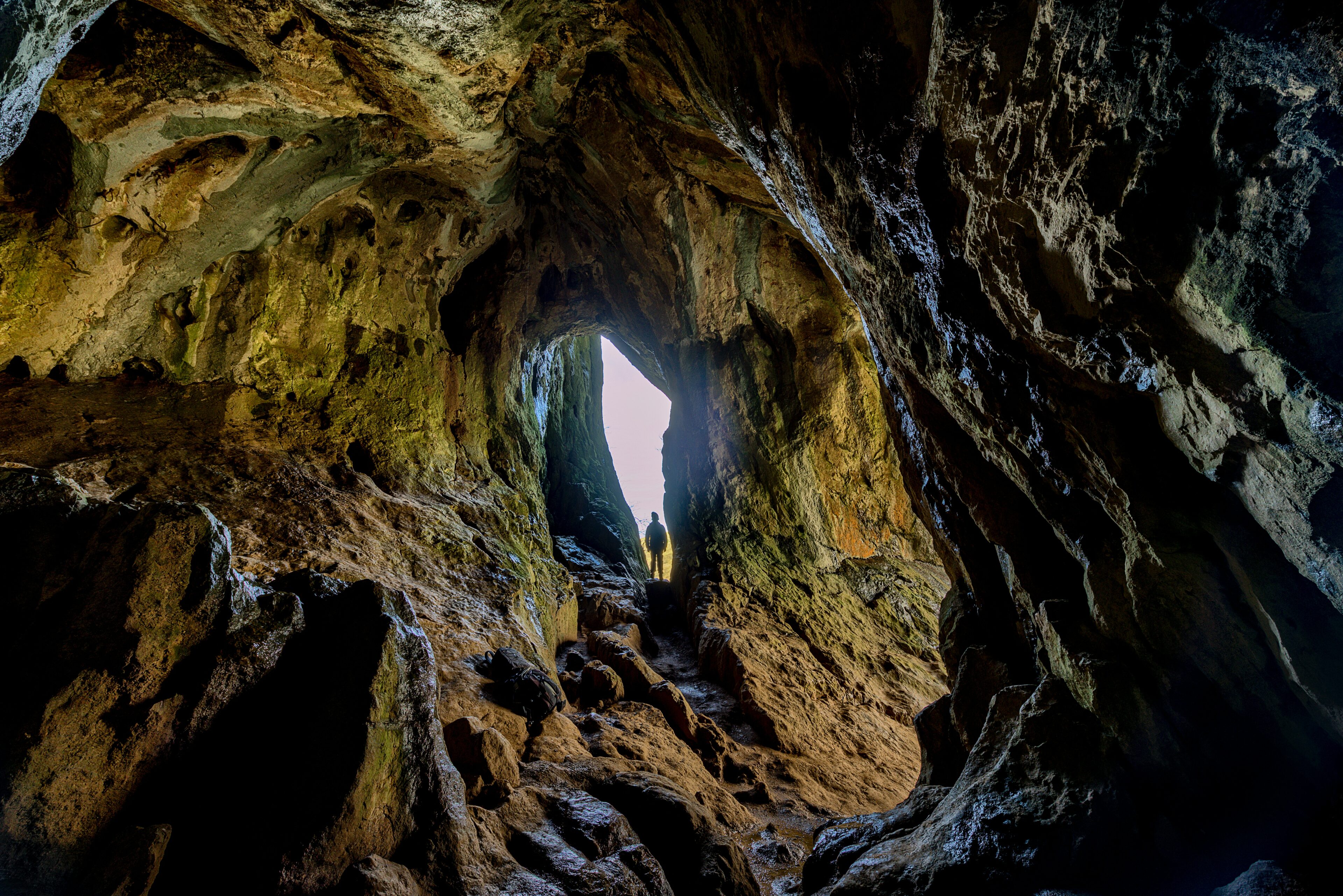
This circular walk from the stone built village of Wetton in the Peak District National Park, explores Thor’s Cave and then continues down to Ilam Park, before returning along the opposite side of the River Manifold. This can be challenging walk but rewarding! Keep an eye out for Kingfishers along the River Manifold.
Best for: Views across the Manifold Valley from Thor’s Cave
Distance: 12km
Difficulty: Moderate
17. Shining Tor
Shining Tor rises to the West of the Goyt Valley, and, if starting from the shores of Errwood Reservoir, gives a good 300 metres (1000 feet) of ascent. At 3¾ miles, the circuit should take 1¾ to 2¼ hours at a leisurely pace (though if you’re slow on hills, allow extra time, as there’s a fair bit of ascent and descent on this walk). The route shown starts from the Errwood Hall Car Park, and essentially circles around Shooter’s Clough, visiting the top of Shining Tor (559 metres) before returning to the reservoir.
The views from the top are superb on a clear day. Looking out over the Cheshire Plain, you’ll easily pick out the hills of the Clwydian Range in North Wales and the Wrekin in Shropshire (almost 50 miles distant), as well as numerous local landmarks, including Shutlingsloe, and the large Lovell radio telescope at Jodrell Bank.
Best for: Views over the Cheshire Plain
Distance: 6.5km
Difficulty: Easy – moderate
Detailed route guide: walkpeakdistrict.com/shining-tor
18. Kinder Downfall circular walk
Kinder Downfall is even more spectacular in winter if it’s frosty or iced over – but this isn’t a walk for the faint hearted and pretty challenging so check the forecast before you go and make sure you are fully prepared. You can start in Hayfield and leave the car there if you’re driving over. Hayfield makes for a nice cuppa stop before you head out. This 9 mile circular route will take you via a historic old packhorse route too. Take care – the terrain is uneven and can obviously be slippy if icy.
Best for: Kinder Downfall waterfall – spectacular if it’s frozen
Distance: 14.4km
Difficulty: Difficult
Detailed route guide: nationaltrail.co.uk/pennine-way/route/walk-way-day-walk-49-kinder-scout-hayfield
19. Lantern Walk at Lyme Park
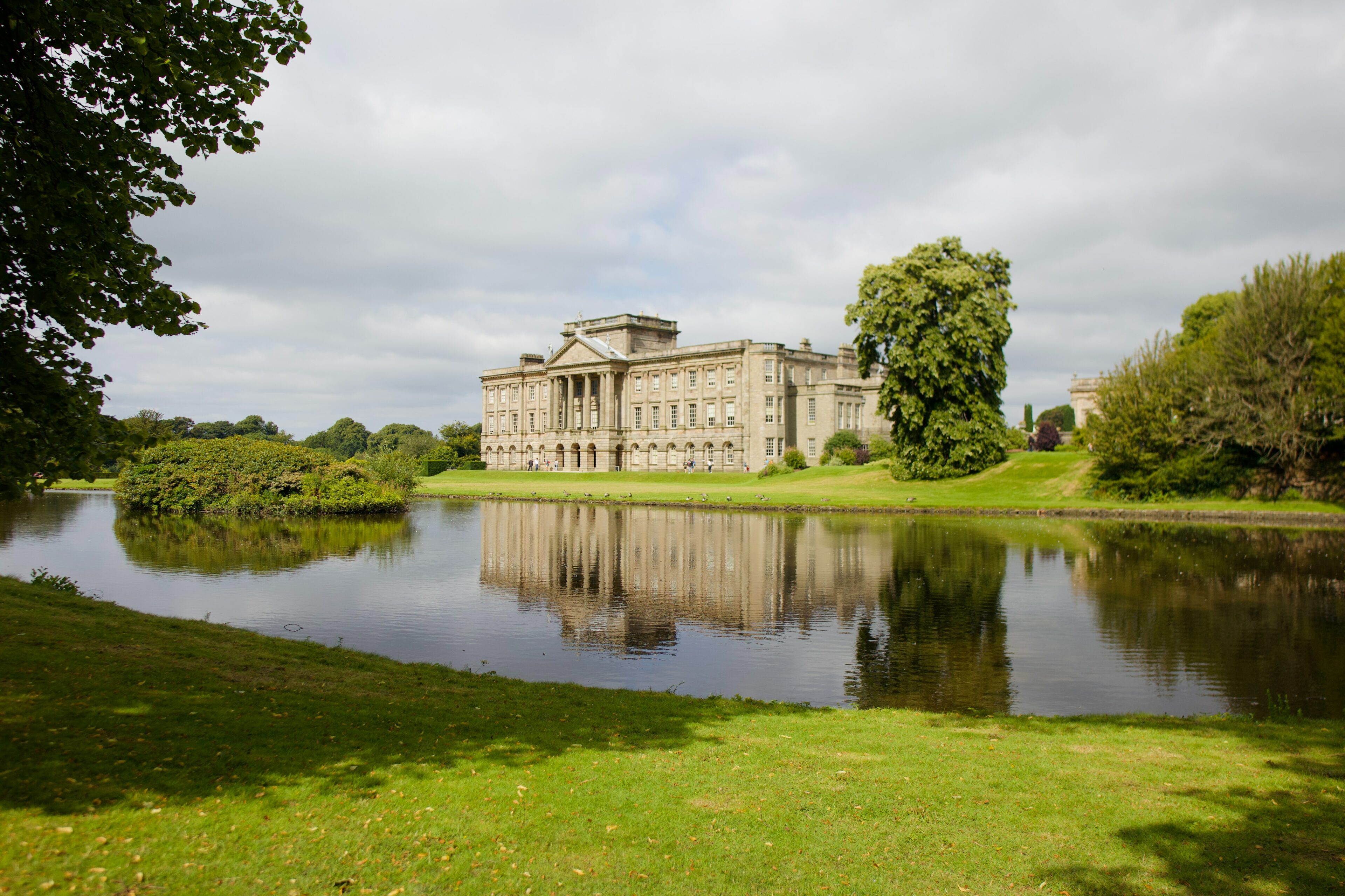
Beginning at the beautiful Lyme Hall in Lyme Park, this slightly alternative route through the park gives you something a little different. The pretty Lantern Wood offers lovely views across Cheshire and across over the Peak District and as Lyme’s red deer often spend their time in the east of the park, you might catch a glimpse. The views are far reaching once you reach the top and this walk should be a little quieter.
Best for: Red deer in the park
Distance: 2.7km
Difficulty: Easy
Detailed route guide: nationaltrust.org.uk/lyme-park-house-and-garden/trails/a-walk-to-the-lantern
20. Lathkill Dale and Monyash
Lathkill Dale is one of the quietest dales in the White Peak. This is an excellent short walk for when you fancy something easy or only have a few hours to walk. This walk starts and finishes in the beautiful village of Monyash where you can enjoy a pint at the superb Bulls Head pub. Lathkill Dale is a typical limestone dale, flanked by huge limestones cliffs and teeming in unique flora and fauna. The River Lathkill that runs along the floor of the dale disappears during the summer. The walk takes you past rolling lush green farm fields then descends into the magical environment of the dale. It may look small on a map but when you are down on the dale floor the limestone walls looks huge. A great short walk with plenty of variation.
Best for: Limestone cliffs
Distance: 6.5km
Difficulty: Easy
Detailed route guide: walkingbritain.co.uk/walk-3046-description
21. Ilam to Dovedale
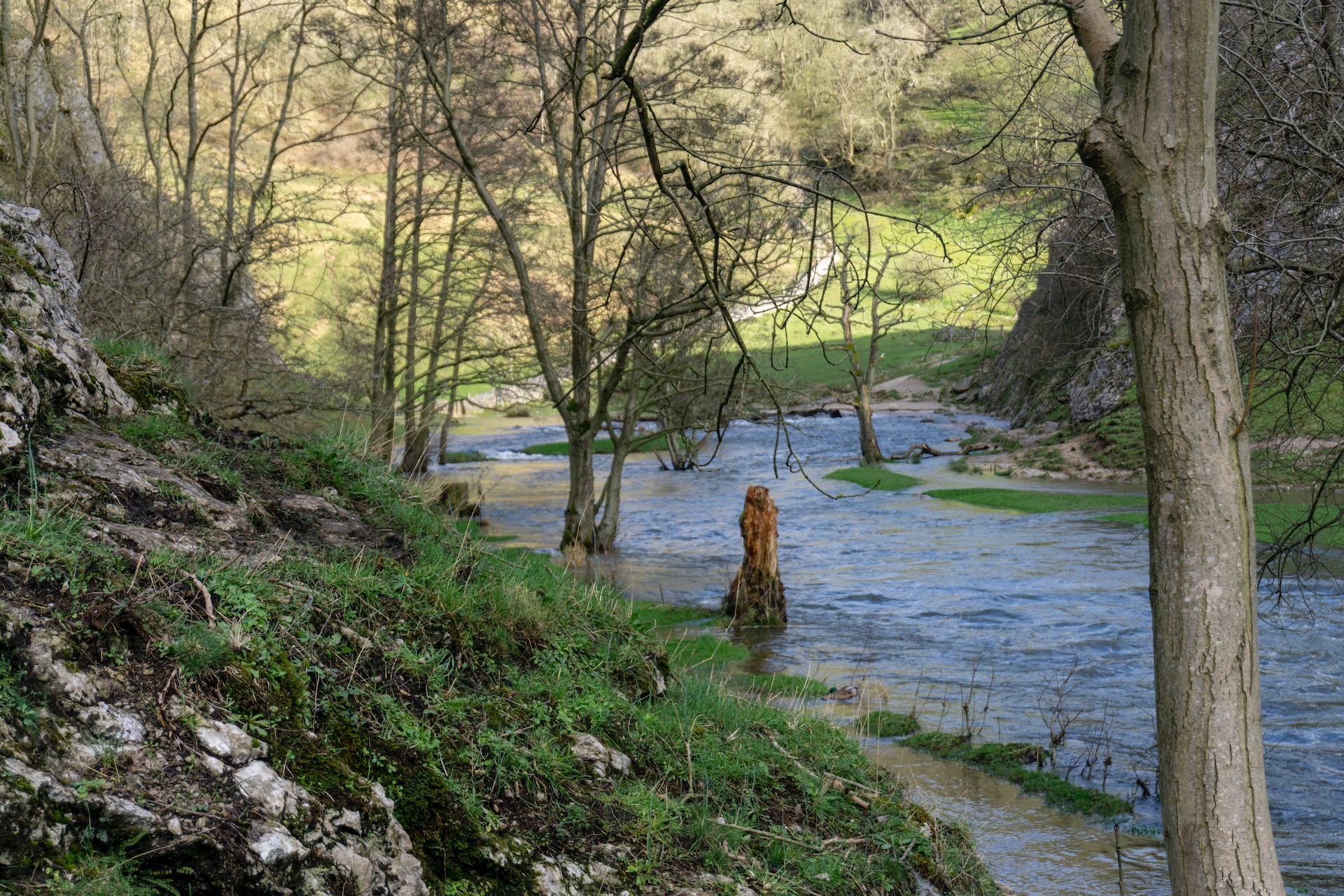
This area of the Peak District – the White Peak, is famous for its limestone geology and wildlife. It’s an easy walk so again if you’re stuck for time or don’t want to be out in the cold too long, this is ideal. Beginning at Ilam Park / Ilam Hall, you might want to have a little look round the grand Ilam Hall grounds, home to a lovely cafe and the chapel in the park is a worth a look too. You’ll pass through Ilam village before venturing into possibly muddy fields with some great views across to Manifold Valley. Finishing at the stepping stones in Dovedale, this is arguably one of the most scenic areas of the Peak District. The stepping stones may not be suitable to walk on if it’s frosty or icy, so do take care underfoot, either way the valley is lovely in Dovedale.
Best for: The famous stepping stones at Dovedale
Distance: 6km
Difficulty: Moderate
Detailed route guide: nationaltrust.org.uk/ilam-park-dovedale-and-the-white-peak/trails/ilam-park-to-dovedale-stepping-stones
22. Eyam and surrounding moorlands
If you’re up for more of a challenging walk then check out Eyam, an historic plague village dating back to the 17th century. Explore the strenuous terrain over nine miles of moorland paths and fields. It’s thought to take around four hours to complete but the views, and the rewarding pub lunch at the end, make it all worthwhile. You can always take a detour into Eyam church, a fascinating place to visit.
Best for: History – you’ll pass the locations of the Plague Stones on the village boundary as well the plague cottages in the village itself
Distance: 14km
Difficulty: Difficult
Detailed route guide: dalestrails.co.uk/Eyam
23. Hartington Circular walk
This is a lovely, peaceful trail that takes you to explore the area around Hartington in the Peak District National Park, taking you down to the pretty Beresford Dale National Nature Reserve and the surrounding farmland.
Best for: Magical Beresford dale
Distance: 5km
Difficulty: Easy
24. Bakewell to Chatsworth

Enjoy magnificent views of Chatsworth House, one of the most magnificent stately homes in England. This walk also takes you into the picturesque village of Edensor. Enjoy pretty Bakewell which has a plethora of excellent independent shopping boutiques as well as lots of great tea rooms. A lovely countryside walk showing off some of Derbyshire’s finest jewels.
Best for: Views of the magnificent Chatsworth House
Distance: 9 – 14km depending which route you take
Difficulty rating: Easy – moderate
Detailed route guide: visitpeakdistrict.com/trails/bakewell-to-chatsworth-walk
If Peak District walking & hiking is your thing and you’re after a good walk or hike during winter, check out our 14 Best Peak District & Derbyshire Winter Walks…
Did You Enjoy This?
You might like our regular newsletter. We put all the best events, cultural highlights and offers from Buxton and the Peak District in your inbox every month.
This information will only be used to send you this newsletter. It is stored in Mailchimp.


