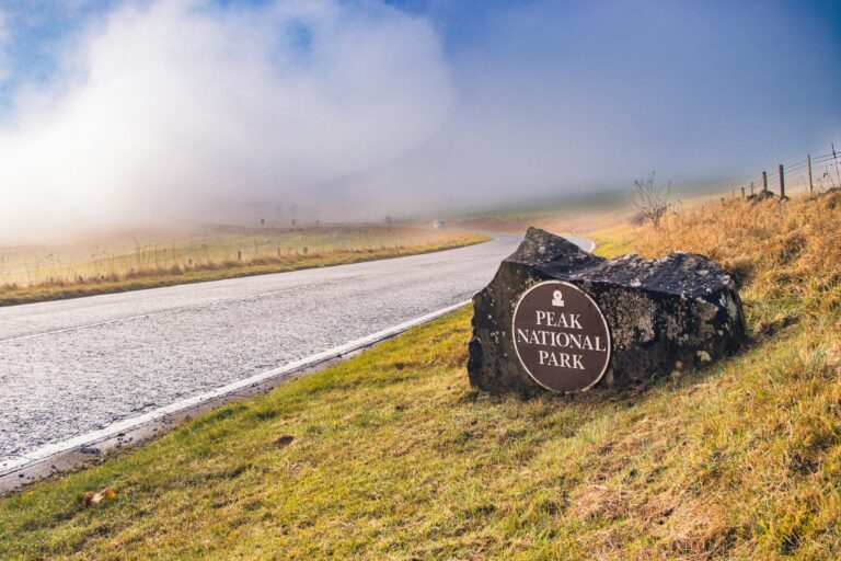
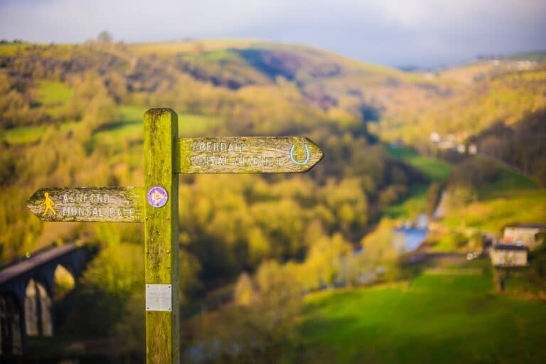
Our pick of the 10 best cycling trails in the Peak District & Derbyshire! With spectacular vistas and some interesting spots along the way, this is a haven for getting out and enjoying the outdoors on two wheels. Also abundant with wildlife and heritage with plenty of evidence still dotted around of the industrial era such as the lime kilns and viaducts.
Conditions vary: some routes include public roads, uneven surfaces or steep gradients. Check the route and access information before setting off. The Peak District’s Miles Without Stiles guides describe accessible sections.
Best cycling trails in the Peak District & Derbyshire
1. Monsal Trail
This 8.5-mile former railway trail runs from Blackwell Mill to Bakewell, passing through lit tunnels and over Monsal Viaduct. The trail opened in 1981; its tunnels reopened in 2011. Some access points involve steep approaches: see the National Park’s access guidance.
See the National Park’s trail map and access information.
- Length of trail:
- 8.5 miles
- Difficulty:
- Easy
- Highlights:
- Derbyshire’s industrial heritage along the way
Explore Buxton’s Blackwell Mill Cycle Hire listing reports that the centre is closed for the remainder of 2026; its own website still lists regular hours, so check before travelling. Monsal Trail Cycle Hire at Hassop Station is another option.
2. High Peak Trail
The High Peak Trail runs from Dowlow near Buxton to High Peak Junction at Cromford along a former railway. While much is gently graded, the route includes steep former railway inclines, including near Middleton Top. The county council advises cyclists to travel west from Middleton Top to avoid the steep inclines to the east. The National Park gives its length as 17 miles; Derbyshire County Council gives 17.5 miles.
See the National Park’s trail map and access information.
Derbyshire County Council says Middleton Top cycle hire is temporarily closed. Middleton Top Engine House is also closed for maintenance, with reopening hoped for in 2027. Check the council’s pages for updates.
- Length of trail:
- about 17–17.5 miles one way
- Difficulty:
- varies; some steep inclines
- Highlights:
- Derbyshire’s industrial heritage along the way
3. Tissington Trail
This generally gently graded trail runs between Parsley Hay and Ashbourne, where bikes can be hired. Near Mapleton Lane, a short, steep dip replaces a former viaduct; signs ask cyclists to dismount. Once the London and North Western Railway (LNWR) railway line between Buxton and Ashbourne which closed in the late 60s, the trail is around 13 miles long. There aren’t as many things to see along this trail and it’s a little more open but it means you have regular good vistas across the Peak District along the way. Don’t miss the picturesque village of Tissington with its quaint cottages, and duck pond. The southern end of the trail is in Ashbourne – another lovely Derbyshire town; the cycle hire centre is easily accessed just outside the town centre. The trail also passes near to Dovedale, a dramatic limestone ravine with stunning scenery, famous for its much-loved stepping stones which cross the River Dove – well worth a look.
See the National Park’s Tissington Trail guide and map.
The National Park lists refurbishment of the main toilets at Parsley Hay from 2 November to 14 December; its notice does not give a year. The accessible toilets and Changing Place will remain open, and temporary toilets will be provided. Check the latest closure notice before travelling.
- Length of trail:
- 13 miles one way
- Difficulty:
- Easy
- Highlights:
- Stop off at pretty Tissington Village for a cuppa
4. Tideswell and Millers Dale
This approximately 20-mile loop takes in Tideswell, Millers Dale and Eyam and involves substantial climbing. Start and finish at Millers Dale station, Tideswell or Eyam. Plan the route carefully, including road sections; Visit Buxton lists a 527-metre ascent for the ride.
- Length of trail:
- 20 miles
- Difficulty:
- challenging, with substantial climbs
- Highlights:
- Stop off at Eyam and learn about the historic plague village.
The map shows selected waypoints; it does not draw the complete route. Plan your ride with a suitable cycling map.
5. Manifold Trail
The Manifold Way follows the former railway between Hulme End and Waterhouses. The National Park’s infrastructure plan gives its length as 8 miles, while the Visit Peak District cycling guide gives 9 miles. A section between Swainsley and Wetton Mill shares a narrow road and tunnel with motor traffic; the National Park says that section is not recommended for wheelchairs or pushchairs. See its trail access leaflet.
See the Manifold Valley trail map (PDF).
- Length of trail:
- about 8–9 miles one way
- Difficulty:
- generally gentle, with a section shared with motor traffic
- Highlights:
- views of Thor’s Cave from the valley
6. Derwent Reservoirs
From Fairholmes, the National Park describes a 10.5-mile Derwent, Howden and Slippery Stones circuit. It also lists the 5.5-mile Ladybower and the Lost Villages route, where cyclists must use the road for the western section. Some routes include local traffic and steeper sections. Check the Upper Derwent visitor guide before setting off.
Follow the orange dotted signs for the Derwent, Howden and Slippery Stones Trail; see the National Park’s route information.
- Length of trail:
- 10.5 miles for the Derwent and Howden circuit, or 5.5 miles for the Ladybower route
- Difficulty:
- varies by route; some steep and road sections
- Highlights:
- Derwent and Howden reservoirs
7. Sett Valley Trail
The Sett Valley Trail follows a former railway between Hayfield and New Mills, with views towards Kinder Scout and Lantern Pike. The trail is 2.5 miles one way, or about five miles there and back. Derbyshire County Council says the section west of St George’s Road in New Mills is unsuitable for cyclists.
- Length of trail:
- 2.5 miles
- Difficulty:
- Easy
- Highlights:
- views towards the hills around Hayfield
See the county council’s Sett Valley Trail information.
8. Carsington Water Cycle Trail
The full circuit of Carsington Water is about 8 miles. Expect some steep or uneven sections and check the signs for the cycling route. Severn Trent’s access guide describes the terrain and accessible facilities.
Carsington Waterside offers cycle hire. Follow the cycling signs around the reservoir: some sections differ from the walking route.
- Length of trail:
- 8 miles
- Difficulty:
- varies; the full circuit includes hills
- Highlights:
- Expansive views across the reservoir, there’s plenty to do here and makes a great day out
For visitor information and walking maps, see Severn Trent’s Carsington Water guide; follow the signs for the cycling circuit.
9. Longdendale Trail
The Longdendale Trail follows a former railway from Hadfield towards the former Woodhead Station. Allow about 13 miles for a return ride on the full 6.5-mile route.
From Platt Street, the trail follows the former railway through the valley, passing reservoirs and moorland on the way to the former Woodhead Station. Take care at the B6105 road crossing near Torside.
It’s a lovely cycle in fine Peak District surroundings. Choose a sunny day, if you can, when the water glistens blue and the moorland is many shades of greens and yellows.
- Length of trail:
- about 6.5 miles one way
- Difficulty:
- Easy
- Highlights:
- Enjoy the views of the reservoirs from a bench along the route
See the Longdendale Trail guide and check the Trans Pennine Trail route updates before travelling.
10. Thornhill Trail
The Thornhill Trail runs for 2 miles from north of Thornhill Lane to Yorkshire Bridge near Bamford, following part of a former reservoir construction railway.
The traffic-free route offers views towards Bamford Edge. Check the National Park map for access points and connections to other routes.
- Length of trail:
- 2 miles
- Difficulty:
- Easy
- Highlights:
- Views across Bamford Edge
See the National Park’s Thornhill Trail information and map.
Advertisement
Advertisement